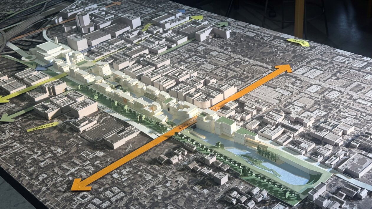
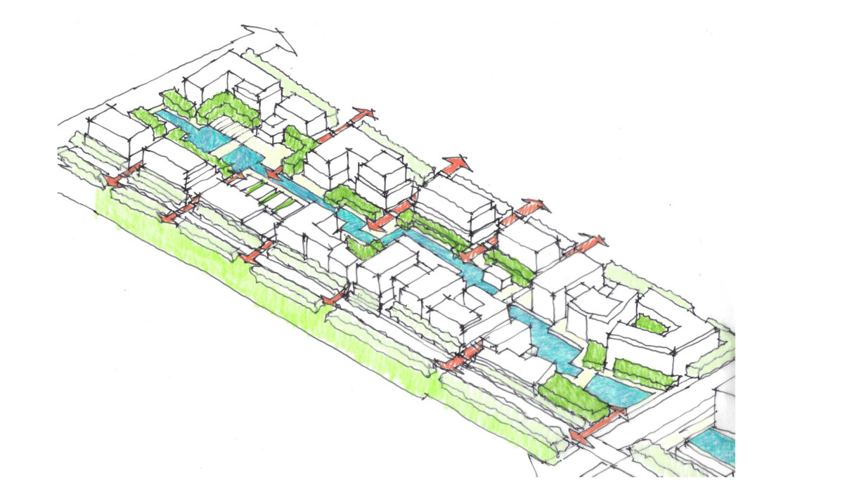
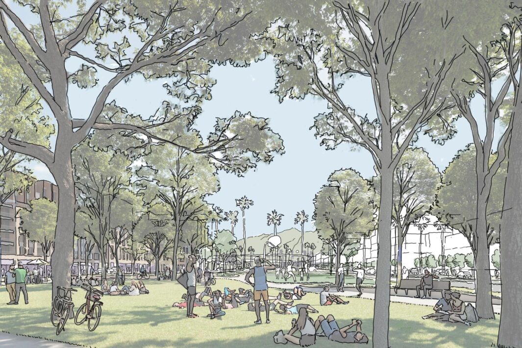
Perkins Eastman is leading a multi-disciplinary team to establish a visionary plan to transform a 50-acre strip of road in the heart of historic Pasadena. Caltrans, the state transportation agency, returned the property to the city after more than 50 years of unsuccessfully attempting to complete the SR710 freeway. The plan calls for decoupling the stub end of the freeway from the regional circulation and reconnecting this strip to the local street grid by adding new bikeways, greenways, paseos, and urban gardens to heal the city’s divided urban fabric. The planning and design effort includes multiple work streams, including;
- Data collection and mapping,
- Establishing a restorative justice framework,
- Economic analysis,
- Land use and place-making, and
- Resiliency and sustainability.
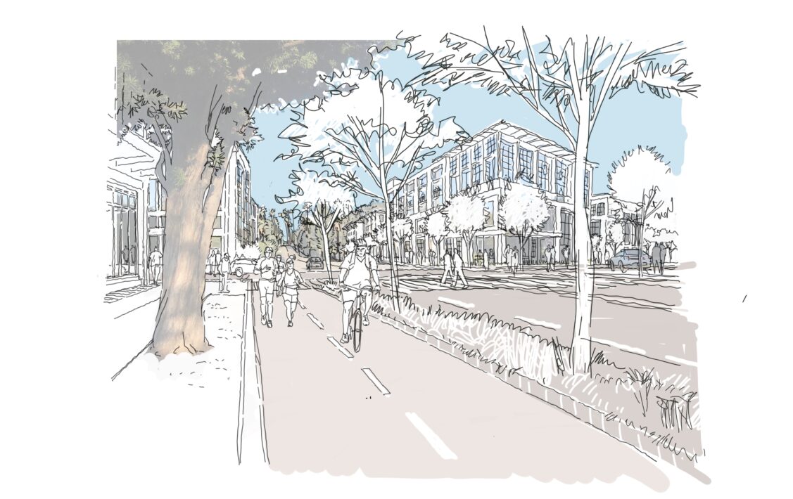
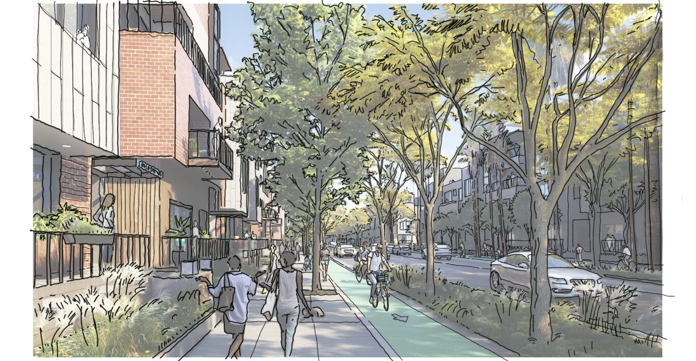
A robust community outreach program includes public agency and focused stakeholder reviews as well as public workshops and open-house meetings. The emerging neighborhood plan identifies multiple sub-districts defined by special places with an emphasis on establishing a rich and varied public realm. Existing primary streets and boulevards will be redesigned as thoroughfares with a pedestrian focus, radically transforming what has today become an car-dominated environment of wide, inhospitable streets and on/off ramps serving the freeway system. The plan also calls for a balance of housing and well-paying job creation opportunities that will complement the robust retail uses that already exist in Old Pasadena. Additionally, a compelling framework of open spaces will enhance the city’s historically rich environment of urban parks, paseos, and the arroyo, providing opportunities to reconnect and stitch together neighborhoods that have been separated by the freeway construction since the early 1970s. Our ongoing work will result in the entitlement of the land and identify implementation pathways for a variety of public-private partnerships for future development.
